History of this paper: A copy of this paper was given to us back in the early 1990s by a local resident. No author name, attribution, or dates appear on the copy, and they were not specific on who actually wrote it or how they obtained a copy. It appears to have been written in the 1980s as a school assignment. The only identifying information is a hand-written note, presumably from the instructor, that reads: “Heather – Aside from the interesting subject matter and the skillful presentation, this paper is important because it presents ample proof that when Heather puts her mind to it, she can really do an impressive job. Keep up the good work. (A) Wow!!”. If anyone reading this is able to identify “Heather”, we would be delighted to correctly attribute the paper to the original author. We are publishing it here as it contains many excellent and obscure references to other historical material on the Sourlands.
The Sourland Mountains of New Jersey, by Heather
The Sourland Mountains of New Jersey have a long and interesting history. The history spans a time period from the Dutch settlers through the Revolutionary War to the early industries of the mountain. Since the mountain was more wild and wooded than the surrounding farmland, it got the reputation of being a hideout populated by unsavory folk.
The Sourland Mountains are really only large hills running north and south. The Sourlands spread over three counties; Somerset (Montgomery and Hillsborough townships), Hunterdon (East Amwell township), and Mercer (Hopewell township). The mountains are about fifteen miles long, composed of a basalt intrusion featuring large rock formations and covered with forests.
There are many ideas of the origin of the name Sourland which first appeared in the mid 1700’s.[1] It might have been the Dutch version of the English name for central Jersey, Sor-land or Sorrel land.[2] Another possibility is the word sorrel meaning either a redish-yellow color like that of the red shale in the region of the mountain or a clover-like plant that might grow there.[3] The idea that the mountain was so-named because of the acid quality of the soil[4] is not very possible because the soil is no more acid than the rest of New Jersey. A very possible origin is that an early settler who lived on the mountain had a name like Sorrel[5] or Sower which was shortened over the years to Sour. The mountain has also had other names: New Shannick,[6] Neshanic Mountain,[7] Zion Mountain,[8] and Rock Mountain.[9] It is unknown which of these possibilities is the real origin of the name Sourland, though some are more possible than others.
The recorded history of the Sourland Mountains begins with the Minsie Tribe of the Leni Lenape Indians who called the mountain Neshanic. Though the tribe didn’t live on the mountain, they had many trails running across it which they used during their annual migration to the shore.[10] In 1683 the land around Neshanic was owned by John Bennet, who ran the Neshanic tavern.[11] An Englishman named Jonathan Stout was invited by the Indians to the mountain and, in 1685, he and his bride built their house on the south crest of the mountain. By 1704 he got the title from the English crown for the land of West Jersey from “the fall of the Delaware to unexplored land.”[12] Meanwhile, on the east side of the mountains, a Dutch company purchased and settled 9,938 acres called the Harlingen Tract. Each settler was given one flat land “Great Lot” and one wood lot on the mountain.[13] By the mid 1700’s a Dutch Reformed Church had been established. The settlement later became known as Dutchtown.
During the Revolutionary War the Sourland Mountains are occasionally mentioned: John Hart, one of the signers of the Declaration of Independence for New Jersey, owned a plantation on the mountain near Hopewell. During the winter of 1776-1777 John had to hide in a rock formation called “Rock House”, so that the British and Hessians wouldn’t find him.[14] Washington stayed at “Hilltop Farm” the home of Jonathan Stout, in June of 1778. While staying there he had sixteen generals to a conference before the Battle of Monmouth.[15] The Sourland Mountains are shown on Erskine’s maps for Washington[16] and on the Frenchman Berthier’s map.[17] The north end of the mountain is a site of one of Washington’s Beacon Fires used to signal the location of the British army. Hessian soldiers, unhappy with life in the army, deserted and hid in the Sourlands.
In the years after the war there were several industries started on the mountain. A man named Sorter started a grist and saw mill on Rock Brook in 1762 which gave the rise to the area called Rock Mill.[18] By 1850 the maps showed numerous sawmills, grist mills, blacksmith shops, and wheelwrights scattered throughout the Sourland Mountains. Glazed redware often mistakenly attributed to Pennsylvania was really made in the Sourlands in the 1780’s.[19] Many potteries were established on the mountain. S. Hooseman,[20] Tom Van Liew,[21] and Pickett[22] all had potteries near Rock Brook. Conover and W.F. Boozer[23] also had potteries on the mountain. R. Hawkins had a tile works on the mountain which was very productive.[24] Many of the potteries closed down because, in the 1850’s, ship sawyers came and cut down many trees which made it hard to get wood for the kilns.[25] Andrew Wychow, an owner of a peach orchard near Buttonwood Corners, imported negro workers in the 1860’s. The negroes, who were basket makers from South Jersey, lived in a settlement called Minnietown of about 25 to 30 houses. When the orchards ran out the workers moved away.[26]
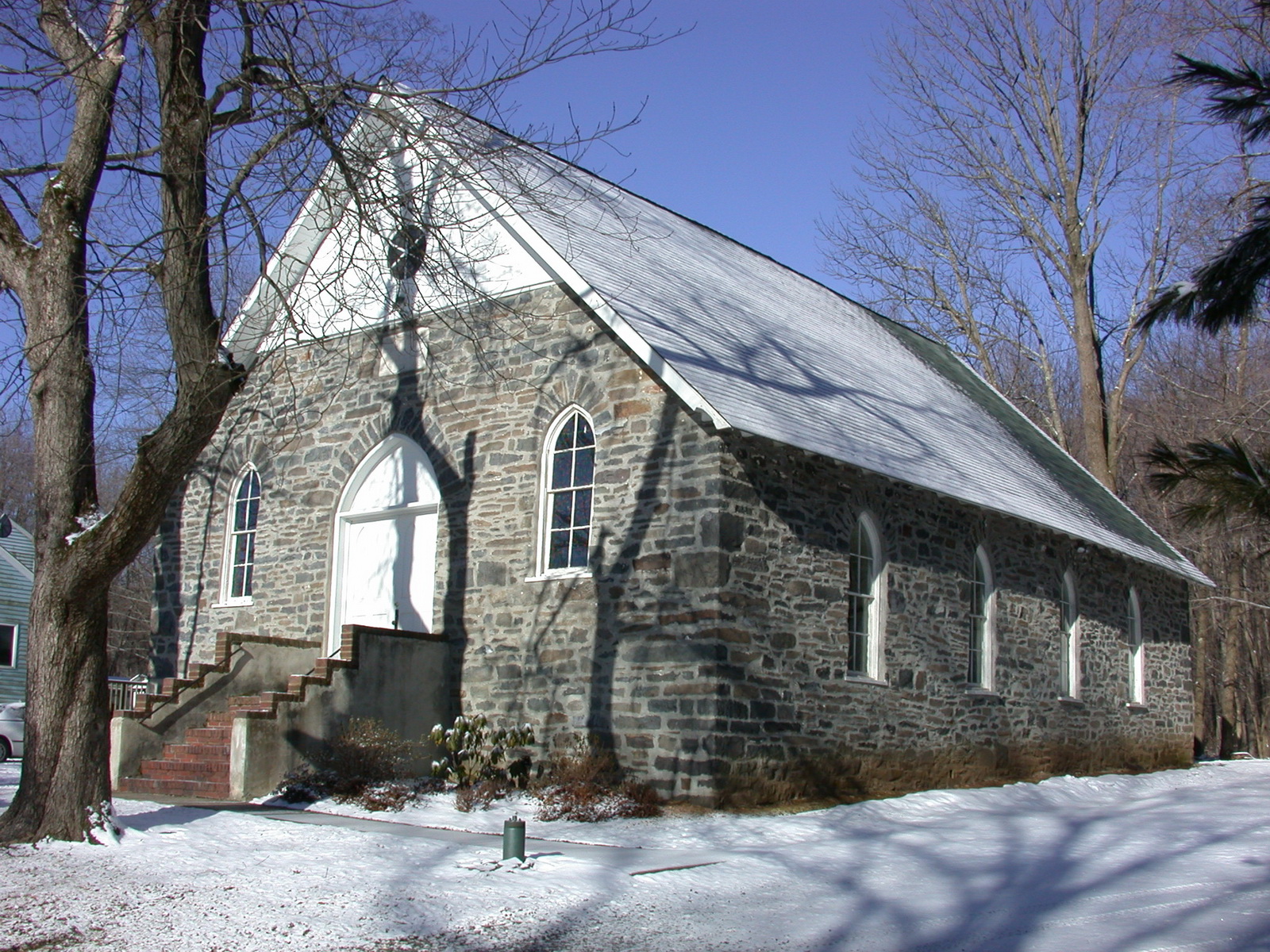
There were several communities in the Sourland Mountains. On the mountain were the towns of Rock Mill and Amwell. In 1881 RockMill had 10 to 12 houses, a saw mill, and a store, as well as two churches;[27] the Mount Zion African Methodist Episcopal Church, started in 1866,[28] and the Mount Zion Methodist Church, started in 1843.[29] In 1898 a Post Office was started at Rock Mills, but the mailing address had to be changed because it was confused with Rocky Hill. Mount Zion, the name of the churches, was suggested, and finally the name Zion was settled upon.[30] Amwell was located about a mile west of Rock Mills. It had a Post Office until 1900.[31] On the west side of the mountain there were three towns; Wertsville, Ringoes, and Larrison’s Corner, which was once a main stagecoach stop.[32] To the north were the towns of Clover Hill, Neshanic, and Neshanic Station. Clover Hill consisted of 15 houses, a Dutch Reform Church, and a school. Neshanic had a Reformed Church, hotel, district school, 2 stores, and 25 houses. One mile away was the town of Neshanic Station, having 10 houses, which was growing up around the Rail Road station.[33] The east side of the mountain had the towns of Dutchtown, Harlingen, and Skillman. And, to the south were the towns of Blawenberg and Columbia, later to be renamed Hopewell. In 1876 the mainline tracks of the Reading Railroad were run through Columbia, then a town of 24 houses.[34]
The 1900’s brought many changes to the Sourland Mountains. Many city-folk bought property near Zion on which they built summer cottages.[35] In 1909 painter George Bellows and playwright 36 Eugene O’ Neill spent the summer in a shack near Rock Brook.[36] The most famous event to occur on the Sourlands was the Linberg kidnapping. In 1930 Charles Linberg bought the Old Lux Farm off of what is now Linberg Road.[37] On March 1st, 1932, the baby was kidnapped from the house. Many of the mountain legends and people were embroidered during the time after the kidnapping because reporters wanted stories about the area. The reporters painted a picture of the Sourlands as a wild and unlawful place populated by wild hillbillies. Some of the stories might be true if judged by the number of stills on the mountain at the time of prohibition.
What were the people of the Sourlands really like? They were not hillbillies but they were a mixed lot. In the 1600’s and 1700’s, the mountain was a hideout for people. Runaway slaves, criminals, and army deserters hid on the mountain.[38] Some of the bad reputation of the mountain may have come from the patrons of the gambling and cock fights at a mountain tavern run by a freed slave named Harry Compton.[39] The mountain people had to work hard to earn a living. They raised crops, raised chickens and other small animals,[40] worked in potteries,[41] worked in grist and saw mills,[42] […missing sentence from the copy…[43] [44]] peach orchards so people raised money other ways; made ax-heaves, sold firewood, trapped, hunted, or picked nuts and berries.[45] Most of the inhabitants had at least a grammar school education in the many small school houses scattered on the mountain. By the 1930’s school buses were run to pick up the mountain kids for school. Though they did get a grammar school education, not many of the inhabitants went on to college.[46]
Over the years many legends and tales were told about the area. A rock formation called “Devil’s Half-Acre”, which is located on the top of the Sourland ridge, has a legend about its origin. According to the legend, one day Satan was hurrying along the Sourland ridge with his apron full of boulders when he tripped and fell. The boulders from his apron were spread over a half-acre.[47] Another rock formation, called “Roaring Rocks”, is also in the Sourlands. It is an area of massive boulders in a stream bed. Originally there was a stream which ran under the rocks. The sound of the running water echoed and could be heard miles away.[48] “Fort Hans”, which is located near Roaring Rocks, was named for Hans Van Pelt. Hans was a Dutchman who deserted from the American army to preach a doctrine. He hid in Fort Hans after he deserted.[49] John Hart hid in “Rock House” which is located south-west of Amwell Road. He hid in the clump of boulders so the British wouldn’t find him. Now the formation is also called “Hart’s Cave”.[50]
The legend of Knitting Betty is a well-known ghost legend. Knitting Betty Rock is located not far from Zion. Betty’s sweetheart went to fight in the war and she waited on the rock knitting. After news came that the boy was killed in the war she still waited on the rock.[51] Many people say they have seen her ghost in a lace gown sitting on the rock knitting.[52] The rock formation “Three Brothers” is also located on the mountain. It consists of three boulders 4 to 6 feet long. Many have seen ghosts near this formation.[53] There were numerous murders on the mountain through the years giving rise to the many ghost stories and sightings of specters.[54]
As the 1980’s brings large homes and companies to the Sourlands, it is hard to think of how it must have been when the mountain housed only small thriving communities and industries. The Sourland Mountains have changed a lot in the last 300 years but its hoped, as the mountain keeps changing, that the history and legends of the past are not forgotten.
References:
[1] Brecknell , Ursula C. , Montgomery Township: An Historic Community, p. 54.
[2] “Sourland May Mean Red Earth,” Somerset Messenger Gazette, May 11, 1972, p. 1.
[3] Ibid., p. 1
[4] Brecknell, p. 54.
[5] Cunningham, John T., “Lets Explore the Sourland Mountain Area, “The Newark Sunday News, August 8, 1948, pages 11-14.
[6] Brecknell, p. 54.
[7] Batchelder, Grace E., “Sourlands Not the Home of a Decandent Race, Says Resident, “Hunterdon Democrat, January 31, 1935.
[8] “Sourland May Mean Red Earth,” p. 1.
[9] Ibid, p. 1.
[10] Batchelder.
[11] Beck, Henry Charlton, “Colonial Belle Gave Name to Knittin’ Betty Rock,” The Sunday Star Ledger, July 12, 1953.
[12] Batchelder.
[13] Brecknell, p. 38.
[14] Hammond, Clone E., John Hart, pages 60-62.
[15] Batchelder.
[16] Brecknell, p. 25.
[17] Ibid., p. 54.
[18] Batchelder.
[19] Drepperd, Carl W., Dictionary of American Antiques, p. 331.
[20] Note, 11/7/1930, from Hopewell Museum Collection — File Rock Mill.
[21] Handwritten note, “Potteries Near Rock Brook,” from Hopewell Museum Collection — File Rock Mill.
[22] Batchelder.
[23] Handwritten note, “Potteries Near Rock Brook,” from Hopewell Museum Collection — File Rock Mill.
[24] Note, from Hopewell Museum Collection — File Rock Mill.
[25] Batchelder.
[26] Ibid.
[27] Snell, James P., History of Somerset and Hunterdon Counties. Vol II, p. 786
[28] Brecknell, p. 22.
[29] Batchelder.
[30] Ibid.
[31] Beck, Henry Charlton., The Jersey Midlands, p. 276.
[32] Cunningham, p. 12.
[33] Snell. Vol II, p. 785
[34] Batchelder.
[35] Ibid.
[36] Beck, The Jersey Midlands, p. 274.
[37] Batchelder.
[38] Ibid.
[39] “Harry Put Ran Hilltop Hostelry,” The Princeton Recollector, Winter 1980, p. 10.
[40] Kane, Frank Jr., “Sourland Mountain Residents Resent Being Pictured as Illiterate,” Sunday Times-Advertiser, January 21, 1934, p. 4.
[41] Note, 11/7/1930.
[42] Batchelder.
[43] Ibid.
[44] Ibid.
[45] Ibid.
[46] Kane, p. 4.
[47] Cunningham, p. 13.
[48] Beck, The Jersey Midlands, p. 287.
[49] Ibid , p. 287.
[50] Hammond, p. 60-62.
[51] Beck, “Colonial Belle Gave Name to Knittin’ Betty Rock.”
[52] “Bones of Murder Victims Mark Mountains Violent Past,” The Princeton Recollector, p. 22.
[53] Snell, p.
[54] “Bones of Murder Victims Mark Mountains Violent Past,” The Princeton Recollector, p. 22.